To use the interactive map of Santa Clara County demonstration gardens, follow these steps:
Step 1: Access the map
Agree to the terms and conditions and click 'OK."
Step 2: Find a garden
Click on any of the color-coded demonstration gardens to find the garden name, address, website, other contact information, or photos of the garden.

Step 3: Explore the map
Zoom in or out to your area of interest. The attribute table at the bottom of the page will automatically refresh to show information for the demonstration gardens visible in the map.


Step 4: Find gardens near address
Locate all gardens within a specific distance from address by clicking the "Near Me" gray circle at the bottom of the map above the attribute table. This will open a dialog box to enter your address and a search distance. The map and attribute table will refresh to show the gardens closest to you.

Turn the legend on or off
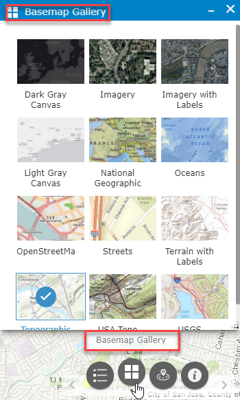
Change the type basemap (the visible map features)
